We all want cities more integrated with the rivers. And a good way to create new proposals starts with case studies, to get to know good practices.
However, most revitalization references bring as main image a river with concrete banks and full of human interference, such as concrete steps, wooden decks and street furniture. These are the images that reach the public authorities and society. Those ideas often refer to a river located in a central area that was heavily modified or heavily degraded, with lanes on the banks, channelized and even buried out of view. In these cases, it makes sense to revitalize using an urban approach. There are many well-known examples of revitalization in this concept, such as the Cheonggyecheon River (South Korea) and the Manzanares River (Spain). They are interesting solutions (that go beyond aesthetics), but the images should be accompanied by the “before x after”, to show the evolution in relation to a previous situation quite unfavorable.
But this is not the case for many rivers in Brazilian cities. It does not make any sense to knock down long stretches of the gallery forest to build concrete walls, with the aim of achieving the image of the international river used as imagetical reference. It is not only through the aesthetic concept (and this temptation that we architects have to draw expressive lines and architectural elements) that a good integration between the river and the city is made. There are several good examples that integrate the city and nature through the rivers.
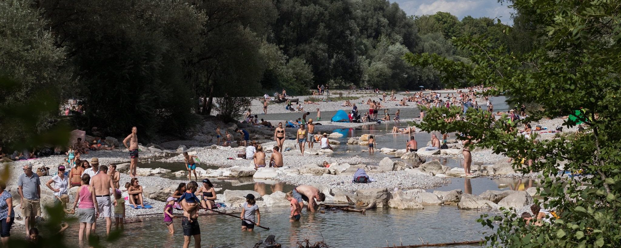
My favorite one is certainly the river Isar (Germany). The river that crosses the city of Munich was straightened and constrained in regular banks. This scenery was requalified with its renaturation. The renaturation, that means, allowing the river to become more natural, has three objectives: better protection against floods, better conditions for fauna and flora and better public spaces for the leisure. This included the removal of concrete and stones that contained the Isar’s straight design, providing more natural contours.
Time-lapse of Isar’s renaturation works. The concept is to give more space to the river.
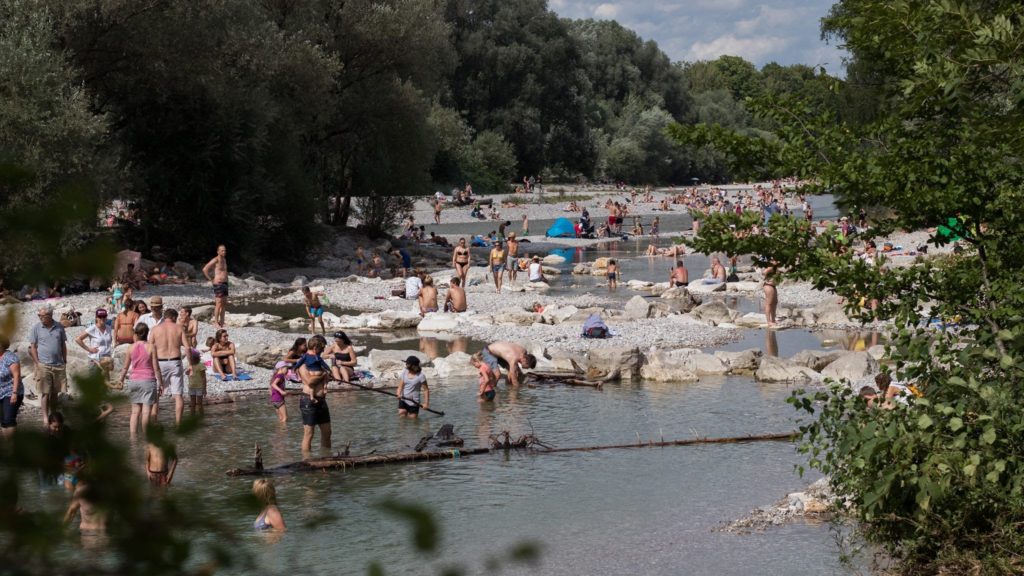
This scenario looks so natural, but it was built. And it is constantly changing: the river itself is in charge of finding its new design – an appropriate solution where space is available.

A park along the river does not have to be that old water channel-concrete-sidewalk model. In this example, there are the housing area, bike path and sidewalk, the gallery forest and the river (which does not appear in the image).

In the gallery forest area, we can have small trails and access points to the river, in a way more integrated with the natural landscape. The leisure park is located outside the preservation area.

In the center of a city of more than 2 million inhabitants, it is appropriate to have more urbanized areas along the river, where we can have the stairs, lawns, decks and benches. The focus of the central region is human use.
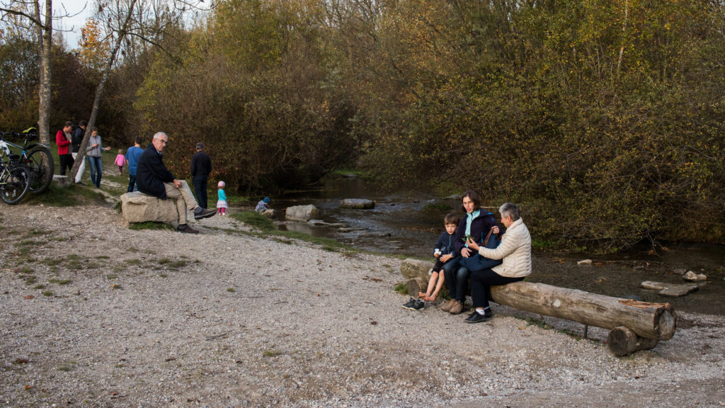
In residential neighborhoods, the natural landscape once again takes precedence. In this small tributary of the Isar, we have a park for the community. The riparian forest is present, with a small opening point and access to the river. The street furniture is also more natural, with stones and tree trunks used as benches.
Photos: Walter C. Weingaertner